Along Route 132, the Gaspésie is caught up in the age-old scramble for environmental resources, forestry products, and oth-
er material of the energy economy. Like other commodity markets, industries control the flow of materials drawn from the land, while wage laborers share the burden of what geographer Maria Kaika calls the double-vision of modernization, creating a common identity through enterprise while drawing from the ideals of context, of place.
er material of the energy economy. Like other commodity markets, industries control the flow of materials drawn from the land, while wage laborers share the burden of what geographer Maria Kaika calls the double-vision of modernization, creating a common identity through enterprise while drawing from the ideals of context, of place.
10
Maria Kaika, City of Flows : Modernity, Nature, and the City (London : Routledge, 2005).
I would add that elevating identity though place-based extraction is a particularly Canadian vision, as growth in small towns and rural counties is indelibly linked to a form of pride in extractive and transient industries that flourish outside of the cradle of urban classes. It is precisely in this context that the Big Waterway must be understood, since freedom could only flourish given the breadth and depth of Big Waterway’s connection to other Euro-western societies. As Big Waterway was reinvented as a conveyor of raw materials and consumer goods, Canadians became a population of the edge. At the threshold between land and water, the composite of rural communities was disregarded, and trapped despite sharing in the economy that makes their lives. Fast forward to the present and many jobs have disappeared from the Bas-Saint-Laurent region, landing in larger urban centers connected to rapid transit, roads, and airports. Despite the lack of economic growth in the region, Gaspésie
continues to produce and unearth resources. The region is wholly dependent on the roads, rails, and routes that pattern exchange along the edge. Meanwhile, Route 132 cannot be safeguarded from erosion, and the lack of Federal support is alienating many residents.This landscape of retreat was catalyzed in December 2010, when the highest high tide united with 80 kilometer-per-hour north-east winds that together carved up the shores along Route 132, breaking the connection for residentsalong the shores.
These inequalities do not mean that the residents of Gaspésie are alienated. Rather, pride in labor is replaced with pride in place as land defines life across ever-expanding narratives. The endurance of the double-vision is found in durable relationships, place-making, and land-based experience. As I noted in my introduction, memory is activated by value and meaning. Our remembered past is not only populated with numbers, names, and figures. It is endowed with magic, heart, and song. Here, the double-vision is turned inside-out, as residents along the tidal edge—an ever-changing shore—reinvent livelihoods through seasonal exchange, following the yearly cycle that brings tourism into the region, injecting the capital needed to last through the long, guestless winter.
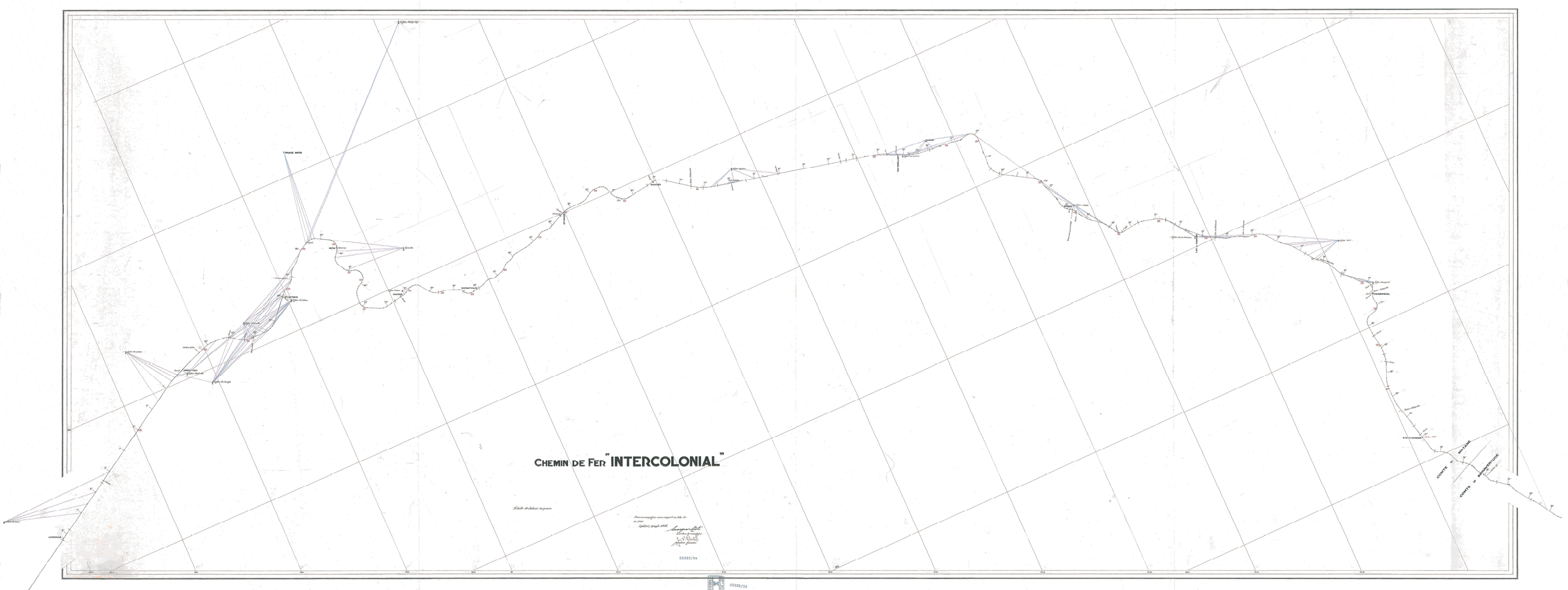
The title of this map, “Chemin de Fer,” means “Path of Iron,” the singular currency of railroad industrialists. Contact between Europeans and Mi’kmaq was recorded for over 400 years before this survey was penned. The triangulation is composed for analytic convenience alone, absent any relation to life. Because extensive near-shore information is left out, the map overlooks the manifold trade routes allied to identity, religion, and language.
The Storm of 6 December 2010
Despite bands of marine sedimentary rock dating from 505 and 360 million years ago, the river basin is prone to winter storms that carry substantial erosive force, significantly shifting the shoreline. In 2009, regional municipalities pursued a complete assessment and eventually recommended a range of armoring details to “solve” erosion, from concrete revetments to gabion seawalls. The array of solid structures offered landowners a costly stopgap, confusing short-term engineering solutions with long-term land dynamics.
The actual storm event that catalyzed retreat only lasted about five or six hours. There were three major low-pressure systems in Eastern Québec in December 2010, but the one on 6 December stands out. This low-pressure system was the lowest low, and met a tidal highest high.
11
P. Bernatchez, G. Boucher-Brossard, M. Sigouin-Cantin, “Contribution of archives to the study of meteorological and geomorphological events causing damage to the coasts of maritime Québec and analysis of trends, frequencies and return time of extreme weather and marine conditions,” Research Chair in Coastal Geoscience, Laboratory of Dynamics and Integrated Management of Coastal Zones, University of Québec at Rimouski: Report submitted to the Québec Ministry of Public Security (2012), 140.
Homes along the tidal shore met powerful winds, gusting between 80 and 120 kilometers per hour. Some buildings lost their roofs and hundreds of hydro poles were left leaning or severed, resulting in a loss of power. Tidal waves created countless road and bridge washouts, but waters were abundant, flowing outof the woods, across fields, into parking lots, undermining rail beds. Hundreds of people were forced to flee their homes, witnessing storm surges as high as ten meters that created damages to structures beyond repair. Perhaps this is the kind of description that is commonplace along the shore—but weather is systemic. So, imagine the run-up to this event in context of other historic moments in this unnamed winter storm that originated in the west of the Great Lakes: as far south as Florida, a freeze that rippled through the orange industry and delayed the launch of the space shuttle Discovery, and as far east as Chicago, zero-visibility conditions required military relief, closing borders, stranding motorists, and shutting down highways.